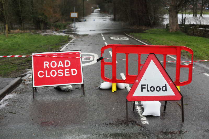
New data from Ordnance Survey in the UK reveals that 7,564km of roads are at risk of flooding due to climate change. This accounts for around 12% of the UK’s road network.
The new analysis is based on Environment Agency flood modelling and OS mapping data. This highlights routes and population centres threatened by extreme weather due to climate change.
Around 587km of England’s motorways are in high risk flood zones. The A38 is the most exposed major route (12% of its length), followed by the M45 (9%), M32 (9%) and A58 (8%).
North Yorkshire is the most exposed local authority in England, with 102km of roads at risk from river flooding and 49km from sea flooding. And 36 local authorities could face rail isolation during flooding events. These include Kirkby-in-Furness, Collaton St Mary, Swinefleet, Belton, Bradwell and Burgh Castle.